
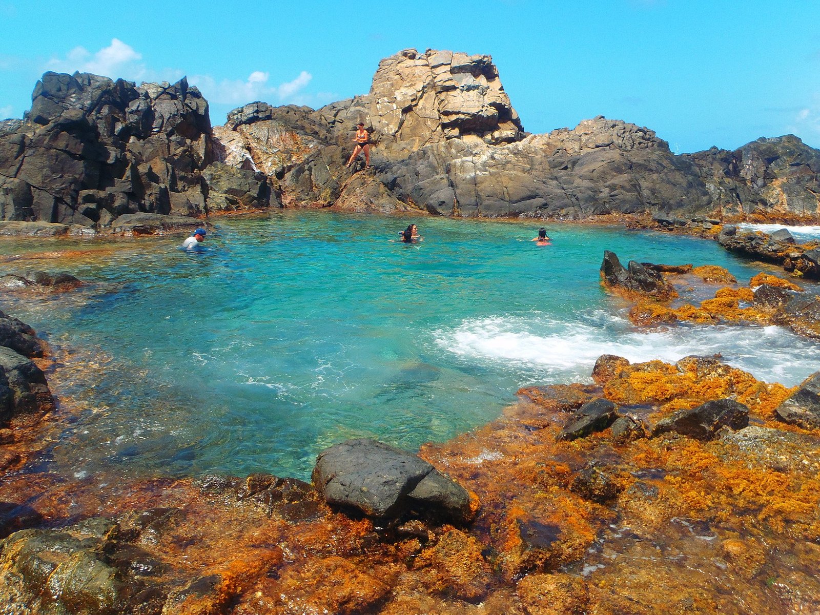
Hike Jamanota Hill
Hike Jamanota Hill is a guided nature hike in Arikok National Park, taking travelers toward Jamanota, Aruba’s highest natural point at about 188 meters (617 feet). The experience combines a steady uphill trek with the rugged scenery of Aruba’s dry interior, offering a very different perspective from the island’s beaches and resort areas. A current […]
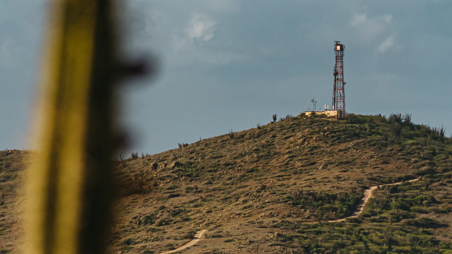
About this experience
Hike Jamanota Hill is a guided nature hike in Arikok National Park, taking travelers toward Jamanota, Aruba’s highest natural point at about 188 meters (617 feet). The experience combines a steady uphill trek with the rugged scenery of Aruba’s dry interior, offering a very different perspective from the island’s beaches and resort areas. A current Aruba Conservation Foundation listing describes the guided hike as approximately 4.8 km / 2.9 miles, around 2 hours, with an 8:00 AM suggested start and a hard difficulty level.
The route is as much about the landscape as reaching the high point. Along the trail, hikers can encounter cactus-covered hills, rocky terrain, native vegetation and the Miralamar Gold Mine Ruins trail, while the higher ground opens toward broad views across southern Aruba. The area is also known for wildlife including Aruba parakeets, goats and the elusive Aruba Island rattlesnake.
At the upper section, the reward is a sweeping panorama over Aruba’s rugged interior and southern coastline. For travelers who enjoy active sightseeing, photography and nature rather than a conventional sightseeing bus, Hike Jamanota Hill offers a memorable way to experience the island’s wild side while learning about the surrounding landscape from a nature guide.
Good to know before reserving this experience
Highlights
- Hike toward Aruba's highest natural point
- Explore rugged Arikok National Park
- Walk through cactus-covered landscapes
- Experience the Miralamar Gold Mine Ruins trail
- Enjoy panoramic southern Aruba views
- Look for native birds and wildlife
- Capture unique landscape photography
Perfect for
- Active couples
- Solo travelers
- Outdoor-loving families with suitable older children
- Nature photographers
- Adventure travelers
- Travelers seeking an alternative to beach activities
What to Expect
Arrive at the confirmed Jamanota trail meeting point, check in with the guide and receive a short orientation covering the route, terrain, weather conditions and basic hiking safety.
Start hiking through Aruba's dry, rocky interior, gradually gaining elevation while exploring the surrounding landscape and passing along the Miralamar Gold Mine Ruins trail.
Continue toward the upper Jamanota section, pause to appreciate the sweeping views and take photographs, then descend along the trail to complete the hike.
Inclusions / Exclusions
Clear details help guests understand exactly what is included before they book.
Included
- Guided nature hike
- Nature and landscape interpretation
- Guided trail experience
- Scenic viewpoints
- Wildlife observation opportunities
- Basic trail safety orientation
Not included
- Hotel or resort transportation unless confirmed
- Food and snacks
- Personal drinks and water
- Personal hiking equipment
- Travel insurance
- Optional park or activity fees not explicitly listed as included
What to Bring
- 1–2 liters of drinking water
- Sturdy closed-toe hiking shoes
- Lightweight breathable clothing
- Hat or cap
- High-SPF sunscreen
- UV-protection sunglasses
- Small backpack
- Phone or camera
Meeting Point / Pickup
Designated Jamanota Hill trailhead in Arikok National Park; exact meeting instructions should be confirmed after booking.
Standard hotel pickup is not confirmed. Travelers should verify the designated trailhead and arrange transportation unless pickup is specifically included.
Exact address, parking notes, hotel pickup options and cruise-port timing are confirmed by the operator.
Safety, Accessibility & Suitability
This section is designed to reduce booking surprises and help guests choose the right Aruba experience.
Frequently Asked Questions
How high is Jamanota Hill?
Jamanota rises to approximately 188 meters (617 feet), making it Aruba's highest natural point.
How far is the hiking route?
The currently published guided experience is approximately 4.8 km (2.9 miles).
What makes this hike different from other Aruba tours?
Instead of focusing on beaches or coastal sightseeing, the hike explores Aruba's rugged interior, native vegetation, wildlife and elevated viewpoints.
Can I take professional photographs during the hike?
Yes. The upper Jamanota viewpoint and surrounding Arikok landscape provide excellent opportunities for landscape and nature photography. Keep photography stops within the guide's recommended areas.
Is the hike physically demanding?
Yes. It is currently described as a hard hike, with uphill sections and uneven terrain. Travelers should be comfortable walking for an extended period in warm conditions.
What time does the hike usually start?
The currently published guided experience suggests an approximately 8:00 AM start. Exact departure times should be confirmed when booking.
Do I need to bring my own water?
Yes. Carry plenty of drinking water because this is an exposed outdoor hike in Aruba's warm climate.